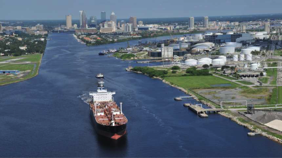
New marine channels forecast in Tampa gives ships a better navigation guide

This week, NOAA launched the Tampa Bay Marine Channels Forecast, a new tool that – for the first time ever – gives vessel operators transiting through Tampa Bay access to critical oceanographic and meteorological forecasts all in one place. This effort is a collaboration between the National Weather Service (NWS) Tampa Bay Weather Forecast Office (TBWFO) and the Center for Operational Oceanographic Products and Services (CO-OPS).
Ship pilots no longer have to check multiple sources for information as they move along the navigation channel. The map-interface tool integrates forecasted water levels and tidal currents from CO-OPS with 24-hour weather forecasts, including winds, wind gust, rain chance, and marine hazard alerts from the NWS.
The product also includes a much-needed visibility forecast, developed by TBWFO, which allows pilots to anticipate marine fog conditions. The Tampa Bay pilots specifically requested this product from NOAA so they can better schedule their routes.
The forecasts are available from 13 locations along the channels all the way to the Port of Tampa, along with real-time observations throughout the bay from the Tampa Bay Physical Oceanographic Real-Time System (PORTS®) and NWS.
The Tampa Bay Marine Channels Forecast provides information that is critical for the economy and safety of coastal communities. Vessel operators rely on accurate forecasts and observations to prevent costly maritime accidents and improve freight efficiency in an increasingly busy seaport.
In fact, CO-OPS’ navigation safety efforts and development of the PORTS® program began in Tampa Bay after an inbound freighter, Summit Venture, collided with the Sunshine Skyway Bridge in May of 1980. A section of the bridge collapsed and 35 people lost their lives. The accident underscored the need for mariners to have integrated information to enable the best safety and operational decisions.